The Drumochter 4 on a fine day

Statistics
Area: Loch Ericht to Glen Tromie and Glen Garry
Munros: A’ Mharconaich, Beinn Udlamain, Geal-charn (Drumochter), Sgairneach Mhor
Date walked: 10/04/2010
Distance: 23 km
Total time =5 hours 40 mins
Ascent:
The route
Introduction
With the promise of a fine sunny day I had decided to walk the Drumochter 4 munros. I left Dunfermline at 0520 and stopped in Perth to pick up walkhighland member Ross (Fingeeze). We arrived at Balsporran cottages at 0645 and set off on the walk at 0652.
The Walk
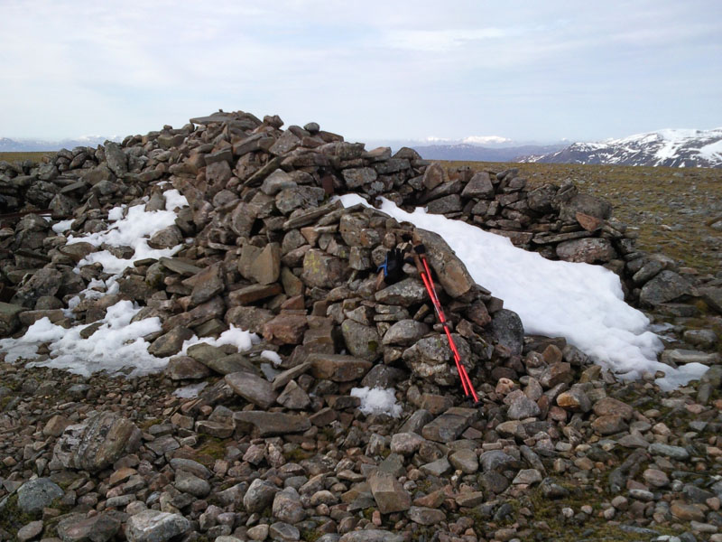
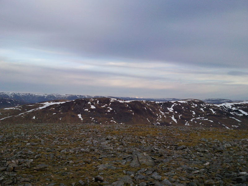
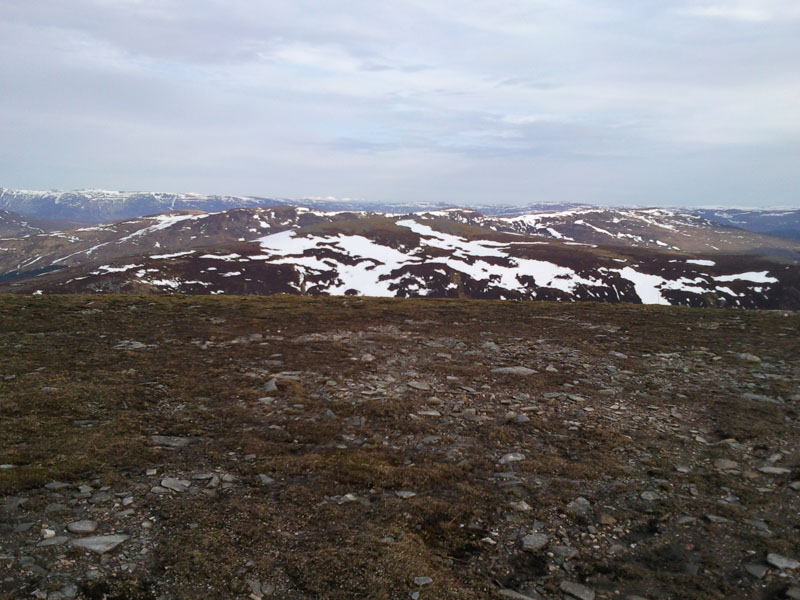
The weather was a bit cloudy and zero degrees but it was still early. Ross had opted to do the first two munros at his own pace and not do the full round so I left him and cracked on. Crossed the bridge and railway line and after half a km I headed off up a track leading in the direction of Geal carn but the track veered off so I decided to head of up the heather and worked hard all the way up the hillside. (I had to get round quickly because Ross would be waiting in the car for me to return). I passed the cairns at the spot height and a km later soon arrived at the summit of Geal Charn. The views from the top are quite good but because these hills are massive the camera doesn’t do it the views justice. My camera anyway. You can see across to the second Munro A’Mharconaich but you have to head down the hillside and across before you head up to the summit to avoid the corrie.
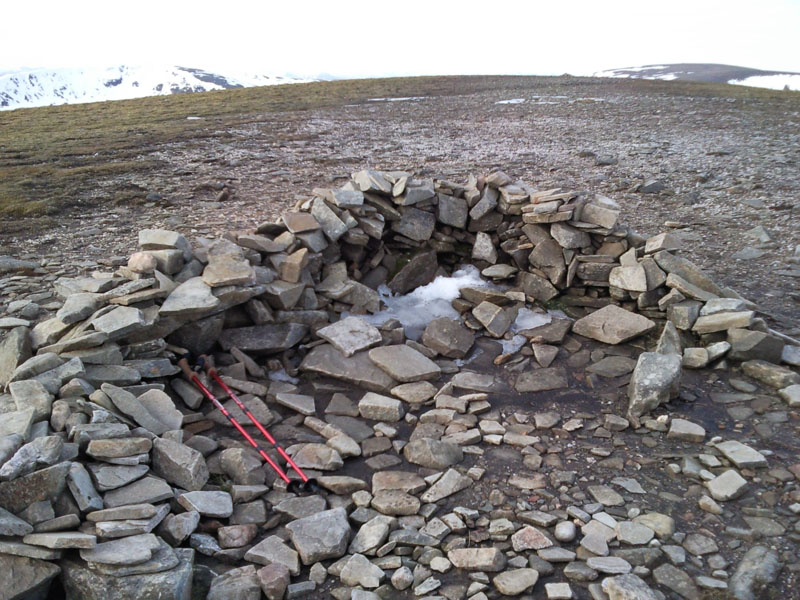
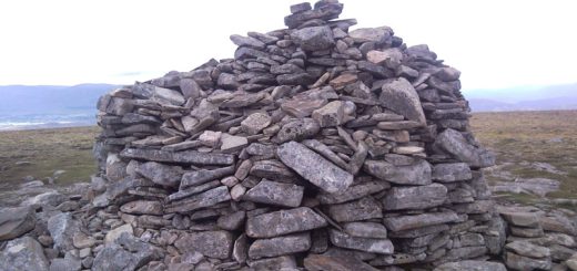
So headed off SW for half a km and then south for a km looking for a suitable spot to cross the corrie and then head up the slope There are a number of large snow patches which are difficult to avoid and your foot breaks through the crust making it strength sapping stuff. Persevered and soon after I arrived at a small cairn. There is a larger cairn 50m further on so continued onto this one.
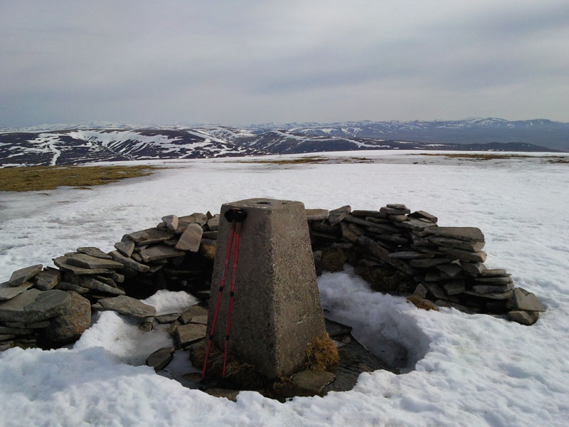
Its now SW with a good track all the way to Ben Udlamain. Nothing much to say about this apart from the track bends and bows in order to avoid the steep corries. Stopped here for 10 mins for lunch.
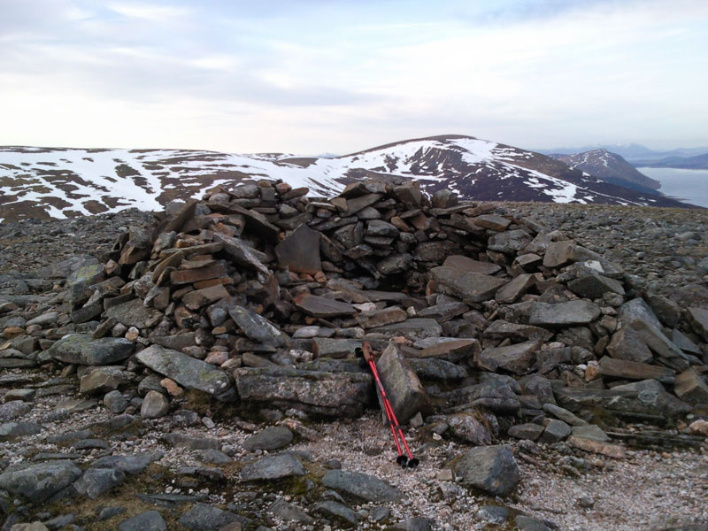
You now have to drop for over a km down the south face of Ben Udlamain. There are loads of boulders here which make for an uncomfortable descent. Again its a case of looking for a suitable line to take to cross the head of the corrie and head up to the spot height below Sgairneach Mhor. There are a number of tracks but in the end I headed off up the heather and snow. Again there are strength sapping snow fields to cross and I find it quite a hard ascent. Its now an easy km to the summit. From here you head NE going down the hill and after about 1km you have the option of heading over to climb the Corbett Sow of Atholl. I decided to give this a miss and took a beeline down the slope for a km and a half, walking through the burn on the way. Now its a 2km walk to join the main road.
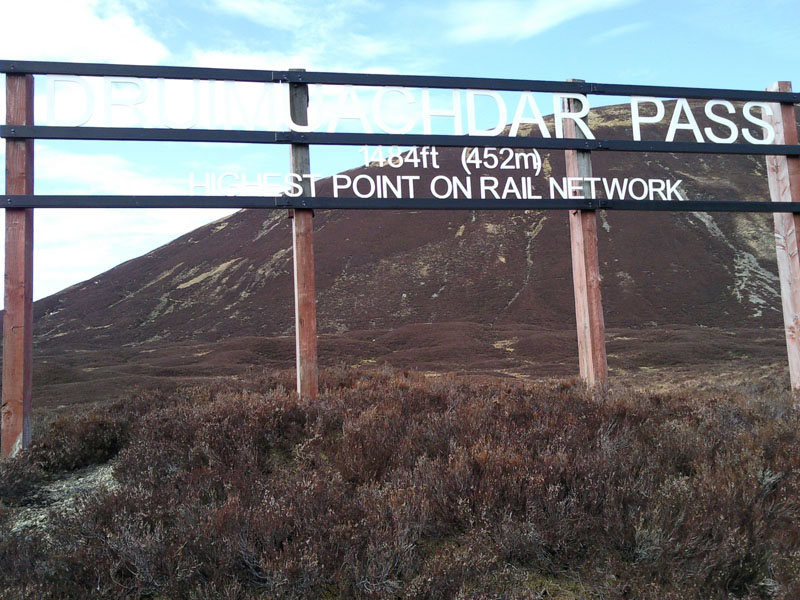
Just before you reach the railway the track turns south. For some reason (dont ask me why) I decided to head north along the railway fence. The ground undulates and has many ditches and burns to cross. After about 500m I came across the Dromchter sign, see photo. I persevered for another 100m then decided to cross the railway, head to the path beside the road and walk the remaining 3.2km on tarmack .
Got back to the car and Ross was waiting for me after completing his two munros.
Another good day in the hills.