Mount Keen
Statistics
Area: Braemar to Montrose
Munro: Mount Keen
Date walked: 22/11/2008
Time taken: 2 hours 45 minutes
Distance: 18.6 km
Ascent: 700m
The Route
Introduction
Mount Keen is the most easterly of the Munros. It sits all on its own in a large undulating expanse of smaller hills approximately 10km South of Ballater. The famous Lochnagar and its 4 companion Munro’s lie approximately 16km to the West with the Corbetts Mount Battock and Ben Tirran 14km to the East and 12km to the south respectively. This Munro can be walked from Glen Tanar (30km) to the North or Glen Mark (19km) from the South.
The Walk
I chose to walk Mount Keen from Glen Esk, (the short route), rather than Glen Tanar.
It’s quite a simple drive up to Brechin then head for Edzell and finally drive the last 13 miles along a narrow but adequate winding road to the car park at Auchronie.
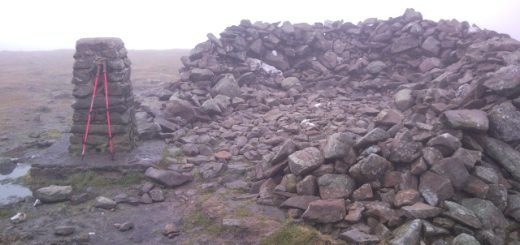
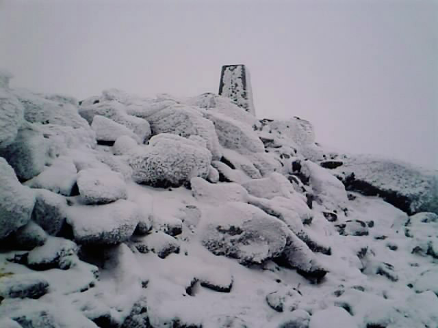
The weather was reasonable for this time of year. It wasn’t too cold at the car park and the sun was shining with little cloud cover. I left the car park and head west for two hundred meters, past the church, then turned right and followed the track. A further 200 meter’s up the track takes me to the “House of Mark” where there is a sign for “Mount Keen” pointing to the path at the left hand side of the house. I followed the track as it meandered along the path following the river (Water of Mark) for approximately 4km’s. At this point the path forks and I take the right hand track past the impressive star shaped “Queens Well”. The clear track now crosses a couple of burns and starts to climb around the side of “Couternach” (524 metres). The track is fairly straight but turns back on itself once before heading in the right direction once more. The track heads onwards and upwards before bending right for the final 2km to the summit. The climb is reasonable, not easy but not hard, with a final ascent to the summit. The peak is a small boulder field with a cairn perched on top. The return journey is just a retrace of the steps from the upward journey.
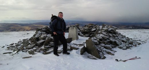
The final 300 meters had a fair bit of snow, with a heavy mist and a freezing cold wind. It got much colder as I ascended the last 200 metres. The complete journey is 18.6 kilometers. I got to the top in 1 hour 40mins and jogged back down in 1 hour 5 minutes to the amusement of a couple sunning themselves at the stalkers hut just to the north of the Queens Well.
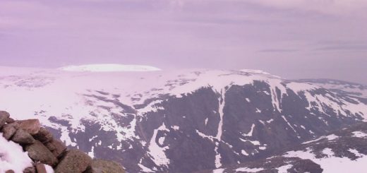
This walk would be really enjoyable in the summer sunshine where the views would be impressive.