Ben Chonzie
Statistics
Area: Loch Rannoch to Loch Tay
Munro: Ben Chonzie
Date walked: 26/12/2008
Time taken:3 hours 20 minutes
Distance: 12 km
Ascent: 800m
The Route
Introduction
Ben Chonzie is the highest point of the moorlands North of Crieff. It sits pretty much in a vast area of much smaller rounder greener hills with the Corbetts Auchnafree Hill to the East, Creag Uchdag to the West and Creagan na Beinne to the North.
The Walk
I drove up to Comrie on the A85 and took the Glen Lednock road, past Dun More and Lord Melville’s Monument, for approximately 7km to the start of the walk. There is a parking area 1.5km past Ballindalloch where I duly parked up and being so close to Dunfermline I was fully kitted up and on my way up the track past Coishavachan shortly after.
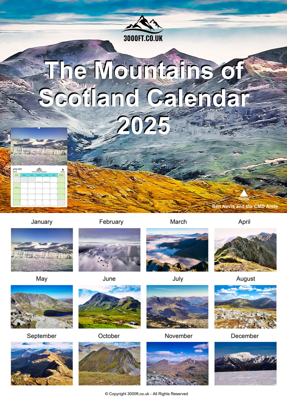
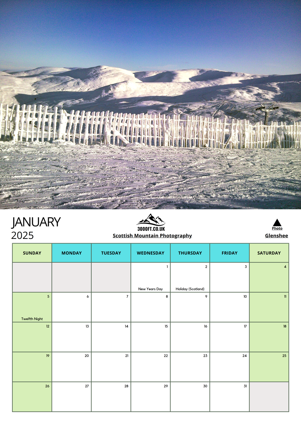
It was cold, there was some frost on the ground and the hills had a light covering of snow so it was ideal conditions to bag Ben Chonzie. Ben Chonzie has the unenviable reputation of being one of the lesser exciting Munro’s but in the cold and snow it does take on a character of its very own.
I continue on the path in a Northerly direction for 2km crossing the Invergeldie Burn twice and then heading Easterly for a further 3km easily ascending the hillside to meet the boundary fence and entering the snow line as I go. From here I followed the fence line North West for 1km and then North East for the final 1km to the summit. The snow is not very deep and is still soft so it is easy to walk through. There is a slight wind on top which has cleared much of the snow from the summit.
Ben Chonzie sits pretty much in a vast area of much smaller rounder greener hills with the Corbetts Auchnafree Hill to the East, Creag Uchdag to the West and Creagan na Beinne to the North.
I don’t stay long at the summit and retrace my steps back to the car.
I enjoyed my short day in the snow.


